")


Efforts to bring underutilized land to optimal use
With the aim of making optimal use of Sri Lanka's land resources, the Department of Land Use Policy Planning prepares land use plans at various levels throughout Sri Lanka and guides their implementation. Apart from this, the compilation of data and information related to land use is also under the responsibility of this department and under this the National Land Use Survey has been completed this year. During the land use update, data and information were collected, especially on the identification of underutilized land and the reasons that affected it. Considering the data identified there, data and information about underutilized land in Matara district was collected through the following channels. Accordingly, three main factors were used to identify these lands. As those factors
1. Lands with low crop density
2.Lands with low crop yield
3. Lands which are not continuously cultivated or lands where only one part of the land is cultivated.
In identifying the lands with low crop density, the density was determined according to the respective crop type. For example, the number of trees per acre of tea plantation land should be 4500, so the land with lower crop density was identified as underutilized land.
It was decided after receiving from the farmer about the yield in the respective lands under low crop yield and field inspection of the land. Here, after studying the yield obtained per 01 acre for the respective crop, it was determined that the land is underutilized.
Lands that are not continuously cultivated or only a part of the land is cultivated, lands that are cultivated only in one season and lands that are cultivated only in one part and another part is cultivated in the next season were identified as underutilized lands. In addition to this, the lands cultivated as seasonal crops and only part of the land cultivated were also included in this solid.
Furthermore, in identifying these underutilized lands, the causes of underutilization were also identified under physical, socio-economic and other categories.
According to the data and information obtained from the above survey, the data on underutilized land in Matara district can be classified as follows.
(Table 1.1) Amount of underutilized land by major factors
|
No |
Existing Status |
Hectares |
|
01 |
Lands with low crop density |
990 |
|
02 |
Lands with low crop yield |
52 |
|
03 |
Land that is not cultivated for a long time or that is only partially cultivated |
28 |
|
Total |
1070 |
|
(Table 1.2) Causes and extent of land that contributed to an underutilization situation
|
Factors Affected |
Reason |
Hectares |
|
Physical factors |
steep slope |
20 |
|
Difficulty getting water |
05 |
|
|
Rockiness |
10 |
|
|
Socioeconomic factors |
Shortage of capital |
197 |
|
Labor shortage |
336 |
|
|
Technical problems |
299 |
|
|
Lack of knowledge about land use |
74 |
|
|
Issues of tenure and ownership |
38 |
|
|
Other factors |
Wildlife threats and other factors |
91 |
|
Total |
1070 |
|
When considering the ownership of the lands identified in this way, they were identified under different categories, owned by the government, owned by the Land Reform Commission, owned by other government agencies, owned by religious places and privately owned.
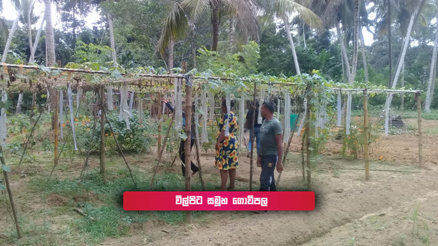
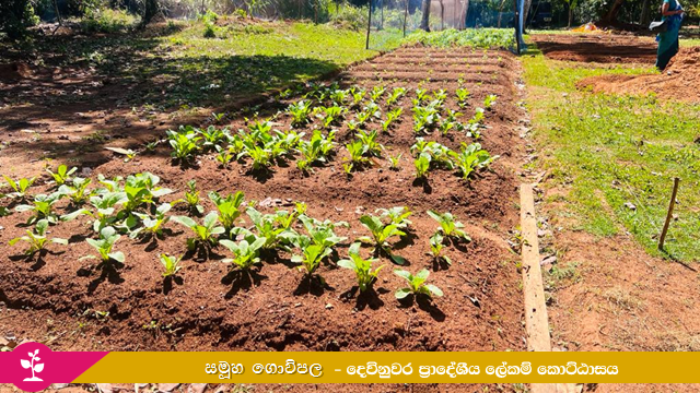
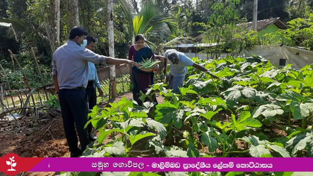
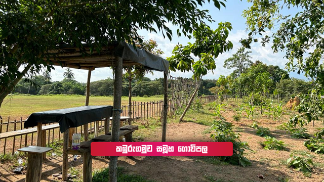
Under the direction of the District Secretary of Matara District, under the “Sarusara Mathota” program, which has been implemented in the past year and this year, the development of the identified underutilized lands has already started, where 55 group farms have been started in these lands.
In view of this, the tasks of bringing the underutilized lands identified in the Matara district through the National Land Utilization Survey to optimal use have already started and it is expected that the development of the other identified lands will continue through various development programs.
Underutilized land developed under “Sarusara Mathota” programme